Development Of Geographic Information System For Town Municipal Authority, Jaranwala
Country:
Pakistan
Location within Country:
Jaranwala, Khuranwala and Faislabad
Name of Client:
Town Municipal Authority (TMA), Jaranwala
Completion Date:
July 2004
Name of Associated Consultants, if any:
SUPARCO
Narrative Description of Project:
TMA Jaranwala decided to upgrade its paper based into digitalize management system for better planning and management of town. For that they needed to gather digital data of their Town limit and the land control points along with survey sheets. Authority desired satellite imageries to show town residential areas, agricultural land, roads, location of various amenities and physical features of town such as hospital, schools, parks and open spaces etc . In order to digitize their offices and data, they also planned training of their staff. Exponent Engineers sought help from SUPARCO to assist in acquisition of satellite imageries and trained TMA staff on use of digital data.
Description of Actual Services Provided by Our Staff within the Assignment:
Following were main deliverables of the project:
Assortment of data,
Processing/enhancement of high resolution images
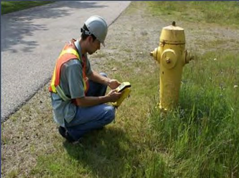
GPS survey for collection of control points,
Geo-referencing
Development of GIS for municipal administration for land administration, revenue record system, facility and resource management, etc.
Facility and resource management system including Training of officials